August 19 – 20 – Seward, Anchorage, Seward – My son joins the adventure

Yes, you got that right.  I am going back and forth, back and forth like a boomerang. Anchorage and Seward are not far apart, so it is easy drive.  My son is arriving in Anchorage from his home in FL on the 20th to spend 8 days of vacation with me!   Yippee!   I haven’t seen him since I moved from FL in June, so it will be great to see him.

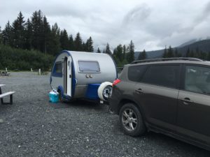
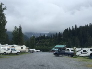
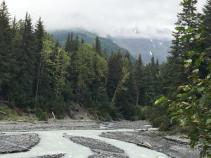
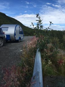
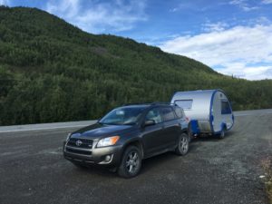
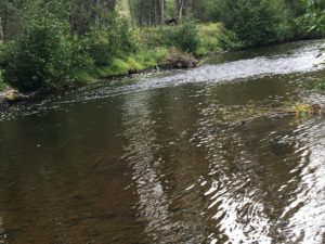
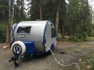
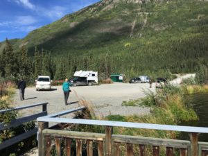
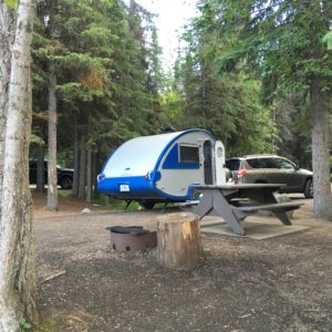
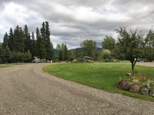
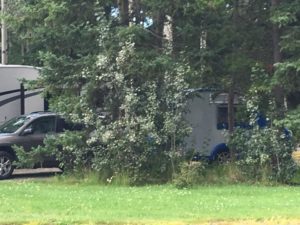
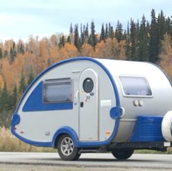
We are planning to spend his 8 days split between Seward and Denali.   His plane comes in the afternoon on the 20th and we’d get to Seward late to be setting up.   So on the day before (the 19th) I went from Soldotna to Seward and got the camper all set up in the http://www.stoneycreekrvpark.com/ .  The park itself is like a parking lot–no trees, just gravel everywhere.  But it is surrounded by trees and mountains and a creek at the side.  There were at least 2 – 3 caravan group of motorhomes, so I was an ant amongst giants with my little teardrop.  [In my explorations around town, there was rv camping right on the Seward waterfront, but still just like a parking lot.  So it had a view, but your neighbor was feet from you.  West of town near Lowell Point there was another campground, but it looked quite seedy.]
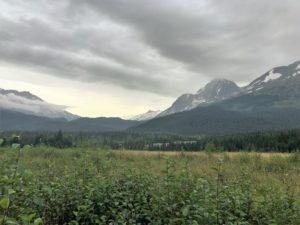


After setting up in Seward, then the next day I drove back to the Anchorage airport and picked up my son from the airport, then we drove back to my campsite in Seward.

Now you say, where will I find space for my son in the teardrop???   I have been using just the back jacknife portion of the dinette sofa to sleep on, since I am short.  It ends up being about twin size.

So with my son here, we now have to make room for two to sleep. So out come those handy-dandy bed slats and we make the bed into queen size. The funny thing is the cats litter box is squeezed under the slats, but Oreo doesn’t seem to have a problem with it. She just squeezes under there and does her business. Hopefully not in the middle of the night!
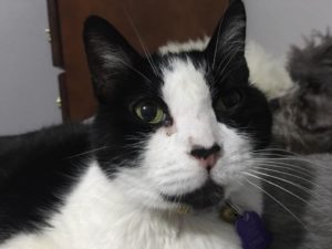
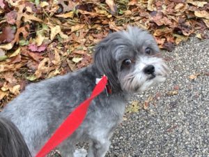
Burrito doesn’t care. He is happy to see Michael. Michael sleeps on one side of the bed, me on the other, with the dog and cat in between!
August 16 – 18 Soldotna and Homer

Today I drove south west across Highway 1 to Palmer, then down past Anchorage to Soldotna on the west side of the Kenai Peninsula.  [The traffic around Anchorage was as bad as any other major US city.  And the road goes right through the city too.   Watch for speed limit signs going through Cooper Landing.]

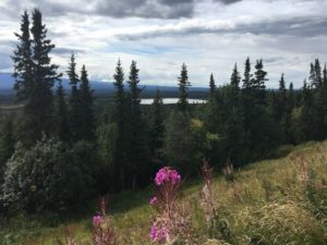
Scenery along the way towards Palmer:

I went to Soldotna primarily to visit  some childhood friends who live there.  Their younger brother was in my class at school and was going to also be visiting at the same time!

The couple works with Samaritan’s Purse.  So I was able to visit their offices/headquarters.   What a great ministry they have to the needy, not only indigenous groups, but also the Wounded Warrior Project etc.  I will not post pictures of all that to maintain their security.

After much reminiscing and good food, the husband and my classmate flew off for a few days, doing a SP project.  So I and the wife had some girl time to our selves!

We spent some time exploring Soldotna, taking a nice easy hike in Centennial  Park and viewing the Historical Museum.

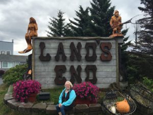
Then we went to Homer.  We ate lunch at the Lands End restaurant at the west end of the Spit.    Yummy halibut sandwich!   

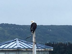
We saw sea otters from the restaurant window and as we drove back east on the Spit, we saw a couple of bald eagles perched on the top of poles right at the side of the road.
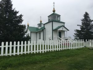
At Ninilchik, you can see lots of beautiful Russian-style buildings.  Remember, Alaska used to be owned by Russia!  When the US bought the land, some Russians stayed.

Boats in the Cook Inlet.
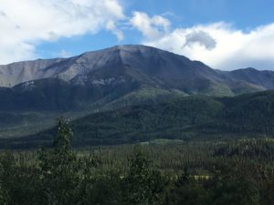
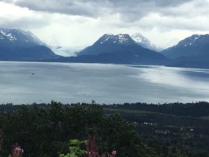
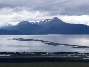
View from the hills overlooking Homer.

August 15th Visit historic old Kennecott Mining village near McCarthy

39 degrees this morning at Tolsona Wilderness Campground!!   BRRR!

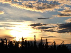
After a quick breakfast, I drove to Glennallen, with the sun rising.

I parked my SUV at the Visitors Center.  The tour operator and their van with 4 other people in it came and we started down the road towards McCarthy.  The road is 93 miles and half of it is unpaved.

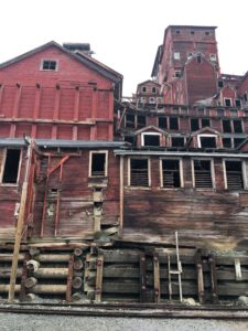
Kennecott is an abandoned mining village.   It was closed in 1938 after producing millions of tons of copper.   The train route going in was abandoned.  The mill building and surrounding village was abandoned.   After the Wrangell-St. Elias National Park and Preserve was established in 1986, the park service bought up most of the mill village.  Tours of the mill are available and you can walk around the village.

For more information about Kennecott or visiting there, click on the links below.

https://en.wikipedia.org/wiki/Kennecott,_Alaska#History

https://www.nps.gov/wrst/learn/historyculture/kennecott-mines-national-historic-landmark.htm

Shortly after Chitina, the road becomes unpaved gravel.  It follow the route of the old train.  When they built the road, they simply piled many layers of gravel on top of the old train tracks.  Every once in a while, a piece of the old tracks works it’s way up and can punture tires easily.  The road is rutted and like wash-board.  Bone-jarring.  The van driver said they go through many tires in a season.

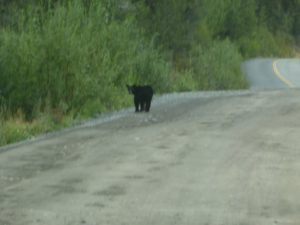
About a mile after Chitina, we went around a curve and spotted a large black bear ahead on the road.   We slowly approached and as we got closer, he moved up into the brush at the side of the road and climbed up the hill.

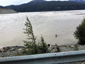
A guy fishing in the river.   Do you see the bear at the edge of the river?

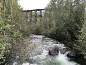
Gilahina River with old train trestle above.

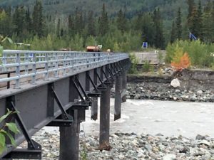
Footbridge located at the end of the McCarthy Rd.   Walk across and get a shuttle on the other side which will take you the next 4.5 miles into Kennecott.

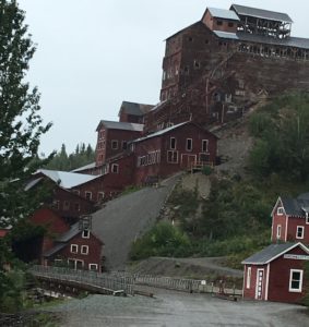
Kennecott mill building.   It is 13 stories high.   We climbed to the top via the hill on the right side, then a guide took us through the building.

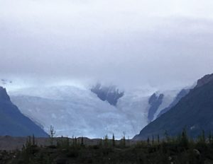
This is the Kennecott Glacier that used to come up to the level of the mill village.   They used to ice skate on it.  When it receded in the last  50 years, now you can see a valley behind there.

I arrived back in Glennallen at about 8 pm.  Tomorrow I leave and travel to the west side of the state to Soldotna.

August 14th Beaver Creek to Glennallen – Made it to Alaska!!

Today should be a shorter day again.   About 250 miles to go;  it should take about 4 1/2 hrs.

Beaver Creek is about 20 miles from the Alaska border.

44 degrees this morning!  Brrrr!

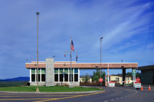
Made it into Alaska finally!!!!

Customs was not a problem again.  Soon I was on my way towards Tok.  There are many snow-capped mountains off to the southwest.

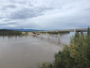
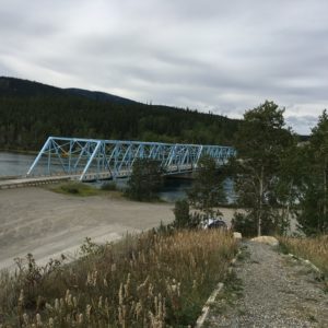
West of Tok is the Tanana River bridge.

Tok is just basically a small town built around crossroads.   I turned south towards Glennallen.

A sign at this stop told of Lt. Henry Allens exploring the Copper River and Tanana Valley area in the 1880s.  “His information about the interior benefited the gold rushers who came later.”

Here’s my little Burrito enjoying a rest stop:

My campground for the next 2 nights is going to be the Tolsona Wilderness Campground, which is about 12 miles south of Glennallen.  It is truly in the wilderness!

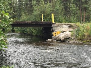
To get to my site in the back by the creek, I had to go across this bridge:I could hear the babbling brook!

The sites are very private.   I could not even see anyone else or hear anyone!  No, I was not scared and didn’t feel alone.    It was just a peaceful, serene feeling being there.
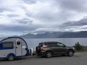
When I had called for reservations weeks before, they said there were companies in Glennallen that operated van tours to McCarthy and the Kennecott Mine village that I wanted to visit.  So when I got unhooked and settled in my spot, I went back to the office.  They were able to call a tour operator in town and I made arrangements to get picked up the next morning in Glennallen.  [The reason I am NOT driving myself is because the road to Kennecott  is gravel and very rough and not wise to drive oneself.]


August 13th – Whitehorse to Beaver Creek

Mileage today:  280 miles, approximately 5 hours, but it still took about 8 hrs with the rough roads!

Today it’s been 3500+ miles since I left TX!

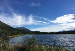
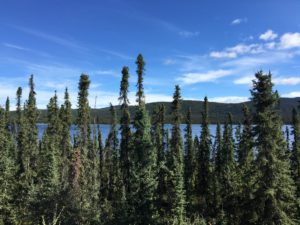
Kluane Lake/Destruction Bay area:

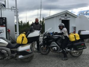
Lots of motorcyclists were on the Alcan.  Here are some at Burwash Landing:

Pickhandle Lake:

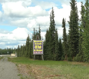
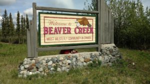
Stopped tonight just 20 miles or so shy of the Alaska border at Beaver Creek.  Stayed at the Beaver Creek RV Park which is right off the highway.  It was cold and rainy.   The amenities are rough here.  The bathhouse is ok, but the gas station store/laundry  is filthy and a mess.  Stacks of paper everywhere, scraps of paper on the floor, used plates with dried up food sitting on the table which is in the middle.  A room in the back looked like a hoarder lived there!  I would not recommend this place, but there is nothing else for miles, so a person has no choice.   I just parked in my spot in the back and tried to ignore the mess of a place.  There is a motel of some sort nearby, but I didn’t see any other rv places.  Beaver Creek is just a gas station stop basically before the Canadian customs place a couple miles west.
 

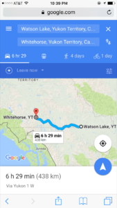
August 12th – Watson Lake to Whitehorse

I didn’t make very good time on the Cassiar because of rough roads.   Now that I am on the Alaska Highway (also called the Alcan), it’s not much better.  There are many construction areas, causing delays of 30 minutes to an hour.  6  1/2  hours became more like 8.   Especially with restroom breaks and picture stops.   But this is not a race and I have no real schedule, so no worries!

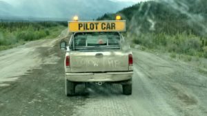
Construction zones involve waiting till a pilot car can guide the line of vehicles through a spot  where they are working:

I left early in the morning and arrived before dark at the Caribou RV Park,  https://www.caribou-rv-park.com/  which is 22 miles east of Whitehorse.   I wish I had picked a place closer to town, but the setting was more woodsy and quiet.  The ones I saw later closer to town would’ve been like parking lots and noisy.

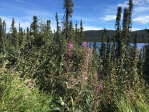
Rest-stop beauties:

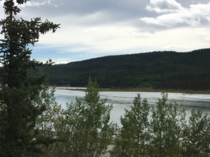
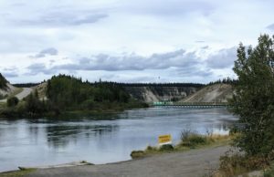
Marsh Lake and Dam:

I got in early in the afternoon, so had time enough to drive into Whitehorse, get an oil change and shopped for more groceries.  [Just as my nephew predicted, I was in the middle of the Yukon when I needed another oil change!]

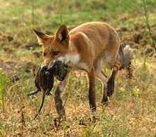
There is a restaurant next door called the Wolfs Den.   http://www.wolfsden.ca/  While eating supper on the outside deck there, a fox walked right up!

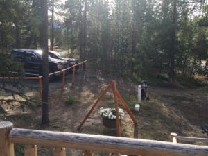
Kinda hard to tell, but the fox is right in the middle to the right of the vehicles.  I wish I had gotten a better picture.  So I’ll borrow a pic from the internet.   He looked like this:
 

August 11th – To Watson Lake

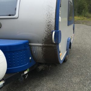
Kinaskan Lake was about halfway to Watson Lake.  It was raining off and on all day long, making the rough roads even nastier.  My vehicle and camper began to get very muddy!  I even saw a lake along the way called “Mud Lake”!
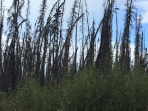
North and south of Wheeler Lake are miles and miles of burnt trees from a forest fire.   I will have to find out when that was.

^It actually looked worse than this.  This pic was taken early on in the mud-slinging!

About a miles south of Taft Creek bridge, I saw a baby black bear!  It skeedaddled into the woods at the side of the road when I drove up, so I didn’t get a good picture of it, but it looked like this:

About halfway to Watson Lake, there is a place called Jade City.   It has gas and a souvenir store full of jade objects to buy.  http://jadecity.com/

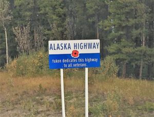
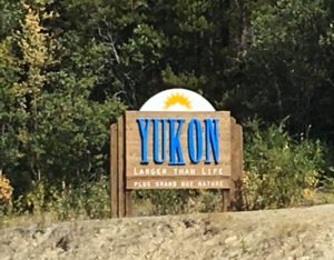
I finally reached the Yukon and the Alaska Highway!!!

Tonight I stayed at the Baby Nugget RV Park, which is at mile 650 of the Alaska Highway just a 1/2 mile west of where the Cassiar (Hwy 37) runs into it.    http://nuggetcity.com/baby-nugget-rv-park/

The RV Park is very bare; very few trees, but it has a restaurant that is very reasonable next door, a car/rv wash, laundry, nice bathroom/shower facilities, full hookups  and a gas station. It’s just a cold, bare landscape though.  Since it had been days  of “roughing it”, I treated myself to supper at the restaurant.    I also treated my car and T@b to a shower at the car/rv wash!  Wanna guess how long it took to get dirty again?!

Because of the rough roads and rain, what should’ve been a 5  1/2 hr drive turned into about 8 hours.   It was 385 kilometers = 240 miles.   So less mileage than other days, but took way longer!


August 10th Traveling the Cassiar Highway

It was a beautiful morning as I left Houston BC.

I had my first problem of the day after turning onto the Cassiar Highway at Kitwanga.

About 30 minutes after getting onto the Cassiar, my check engine light went on and “Auto LSD” red light flashing.   I had no idea what was going on.   There was no cell coverage and the Cassiar is quite remote and devoid of services.  So I turned around, went back to Kitwanga where I finally got cell phone signal!   I called my brother in TX who owns an auto shop.   He advised me that it was probably nothing, maybe a loose sensor,  and to continue.  The road is REAL rough and dusty, so a loose sensor was plausible, and everything was running well.    There is no mechanic available in Kitwanga either, so nobody else to look at it.

Then came the second problem.  I came around a curve in the road and there was a bunch of rocks fallen in road.  I avoided them with my vehicle, but the camper hit one.  BANG!  Shaken, I stopped and took a look, and it had hit the step underneath the door, jamming it so that it would no longer fold down.  No other damage though.   [It was later fixed when I got to Prince George.  A mechanic used crowbars and hammers to get the step back in place.] 

I had thought I might make it to Mt. Shadow RV Park, but the roughness of the road had worn me out, so when I saw Kinaskan Lake Provincial Park come up, I pulled in.  http://www.env.gov.bc.ca/bcparks/explore/parkpgs/kinaskan_lk/             It ended up being one of the most remote, rustic parks of the whole trip, but the most beautiful setting.   There are NO SERVICES there; no hookups of any sort.  One pump for water in the park and a couple of outhouses.  BUT my site was right in the trees and steps from the lake.  There were kayakers on the lake and one small johnny boat with a tiny engine, but otherwise peaceful.   I took a hike around the lake, made supper and then snuggled up inside with Burrito and Oreo.   It was cold outside and by morning was freezing.

Today I traveled about 7 1/2 hours on Hwy 16W, then 37N (Cassiar); 534 kilometers = 332 miles.

August 9th – On my way to the Cassiar Highway.

Today I was aiming for Hazelton, but only got as far as Houston, B.C.   I was just tired of driving.      I traveled about 6 1/2 hrs via the Yellowhead Highway (16W), 592 kilometers=368 miles.   So when I saw the Shady Rest RV Park and it looked very pretty, I pulled in!   It turned out to be a restful relaxing place. http://www.rvparkreviews.com/regions/british-columbia/houston/shady-rest-rv-park

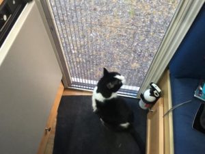
Even my cat Oreo like the campground!   From the screen door.   I loved that the campground bathhouse had individual little rooms with a toilet, shower and sink accessible to outside instead of big huge “gang” bathrooms that feel less private.   It was like having your own bathroom at home!

August 8th – Banff & Jasper National Parks

Both Banff & Jasper are very close proximity to each other, so for time’s sake, I am going to drive through both in one day.   Not planning to do any hikes and will just stop at Lake Louise and the Icefields.   It’s doable because there is so much to see just driving through.

[One thing I’ve had to consider on my trip is safety as a single traveling by myself.   For safety, I don’t feel comfortable doing any solo hikes in remote places.  In well-traveled, well-populated places such as the Hidden Lake trail at Logans Pass in Glacier, it is easy to hike because there are many others around.   But many other places nobody else was around.  So although there were a number of places where I saw trails along the way that could’ve been hiked, I just stuck to the roads for the most part.]

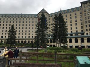
Lake Louise:

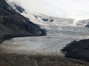
Columbia Icefield:

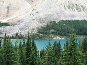
Bow Lake:

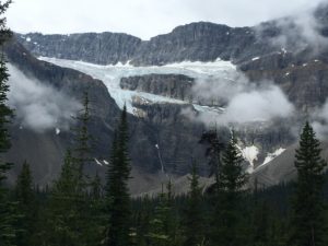
Crowfoot Glacier:

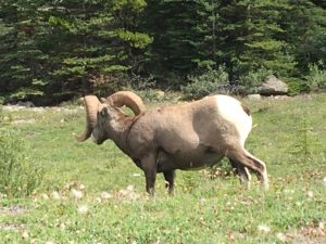
Bighorn sheep at northern end of Jasper:

Tonight I stayed at Mt. Robson Provincial Park, Robson River Campground just east of Tete Jaune Cache.   http://www.env.gov.bc.ca/bcparks/explore/parkpgs/mt_robson/