August 11th – To Watson Lake

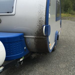
Kinaskan Lake was about halfway to Watson Lake.  It was raining off and on all day long, making the rough roads even nastier.  My vehicle and camper began to get very muddy!  I even saw a lake along the way called “Mud Lake”!
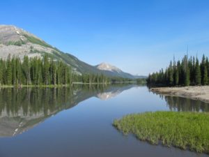
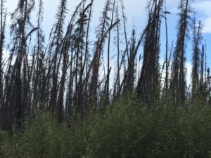
North and south of Wheeler Lake are miles and miles of burnt trees from a forest fire.   I will have to find out when that was.
^It actually looked worse than this.  This pic was taken early on in the mud-slinging!

About a miles south of Taft Creek bridge, I saw a baby black bear!  It skeedaddled into the woods at the side of the road when I drove up, so I didn’t get a good picture of it, but it looked like this:
About halfway to Watson Lake, there is a place called Jade City.   It has gas and a souvenir store full of jade objects to buy.  http://jadecity.com/

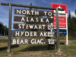
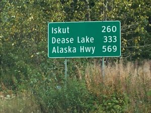
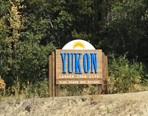
I finally reached the Yukon and the Alaska Highway!!!
Tonight I stayed at the Baby Nugget RV Park, which is at mile 650 of the Alaska Highway just a 1/2 mile west of where the Cassiar (Hwy 37) runs into it.    http://nuggetcity.com/baby-nugget-rv-park/

The RV Park is very bare; very few trees, but it has a restaurant that is very reasonable next door, a car/rv wash, laundry, nice bathroom/shower facilities, full hookups  and a gas station. It’s just a cold, bare landscape though.  Since it had been days  of “roughing it”, I treated myself to supper at the restaurant.    I also treated my car and T@b to a shower at the car/rv wash!  Wanna guess how long it took to get dirty again?!

Because of the rough roads and rain, what should’ve been a 5  1/2 hr drive turned into about 8 hours.   It was 385 kilometers = 240 miles.   So less mileage than other days, but took way longer!
 

August 10th Traveling the Cassiar Highway

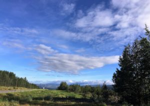
It was a beautiful morning as I left Houston BC.

I had my first problem of the day after turning onto the Cassiar Highway at Kitwanga.

About 30 minutes after getting onto the Cassiar, my check engine light went on and “Auto LSD” red light flashing.   I had no idea what was going on.   There was no cell coverage and the Cassiar is quite remote and devoid of services.  So I turned around, went back to Kitwanga where I finally got cell phone signal!   I called my brother in TX who owns an auto shop.   He advised me that it was probably nothing, maybe a loose sensor,  and to continue.  The road is REAL rough and dusty, so a loose sensor was plausible, and everything was running well.    There is no mechanic available in Kitwanga either, so nobody else to look at it.

Then came the second problem.  I came around a curve in the road and there was a bunch of rocks fallen in road.  I avoided them with my vehicle, but the camper hit one.  BANG!  Shaken, I stopped and took a look, and it had hit the step underneath the door, jamming it so that it would no longer fold down.  No other damage though.   [It was later fixed when I got to Prince George.  A mechanic used crowbars and hammers to get the step back in place.] 

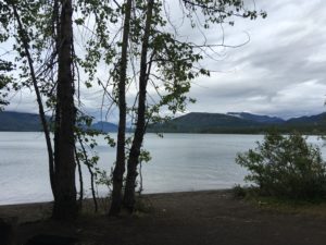
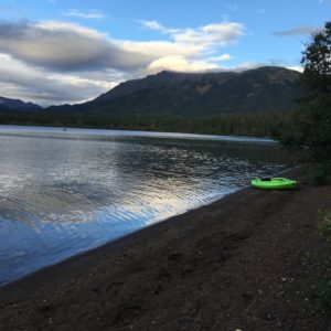
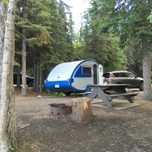
I had thought I might make it to Mt. Shadow RV Park, but the roughness of the road had worn me out, so when I saw Kinaskan Lake Provincial Park come up, I pulled in.  http://www.env.gov.bc.ca/bcparks/explore/parkpgs/kinaskan_lk/             It ended up being one of the most remote, rustic parks of the whole trip, but the most beautiful setting.   There are NO SERVICES there; no hookups of any sort.  One pump for water in the park and a couple of outhouses.  BUT my site was right in the trees and steps from the lake.  There were kayakers on the lake and one small johnny boat with a tiny engine, but otherwise peaceful.   I took a hike around the lake, made supper and then snuggled up inside with Burrito and Oreo.   It was cold outside and by morning was freezing.

Today I traveled about 7 1/2 hours on Hwy 16W, then 37N (Cassiar); 534 kilometers = 332 miles.